LIDAR or Laser Imaging Detection and Ranging is a remote sensing technology that allows to know the distance of an object or a surface by a laser pulse.
- Cartography.
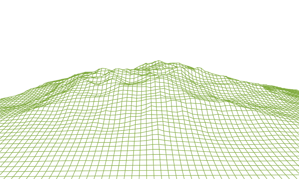
- Generation of a Digital Terrain Model (DTM).
![]()
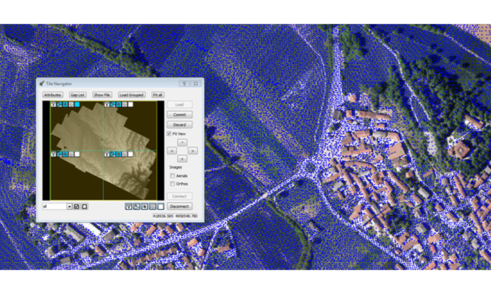
LIDAR or Laser Imaging Detection and Ranging is a remote sensing technology that allows to know the distance of an object or a surface by a laser pulse.