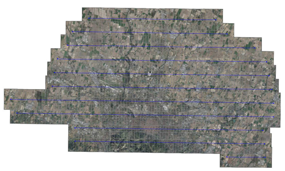
Photogrammetry is a discipline which allows metric data obtaining of an object (shape and position) through taking-over and analysis of a pair of stereometric frames.
Originally created to be used in architectural survey, it’s currently applied for territory and landscape surveys, mainly develops in aerial photogrammetry.
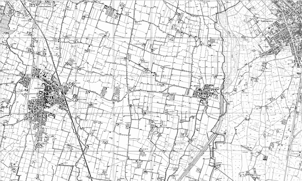
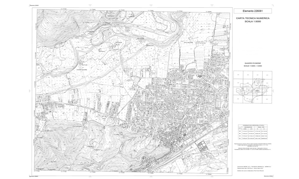
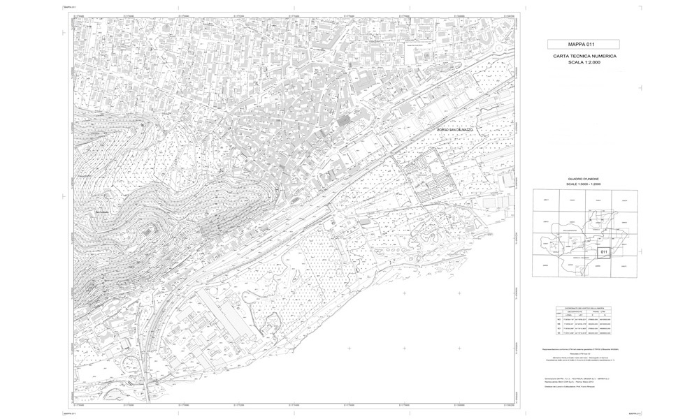
- Numerical 3D cartographic digital editing on various scales.
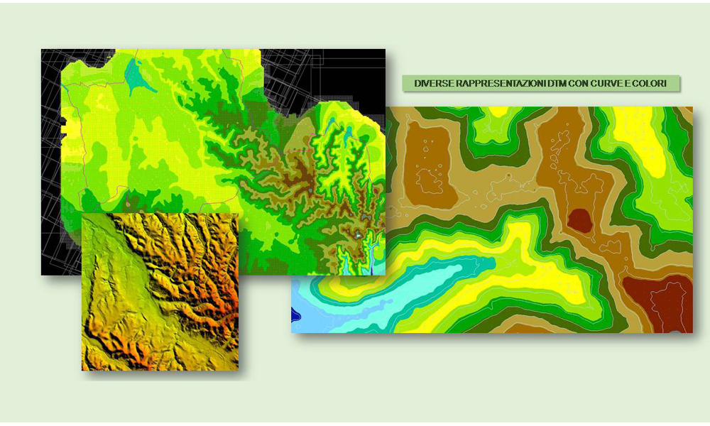
- Digital Terrain Model (DTM).