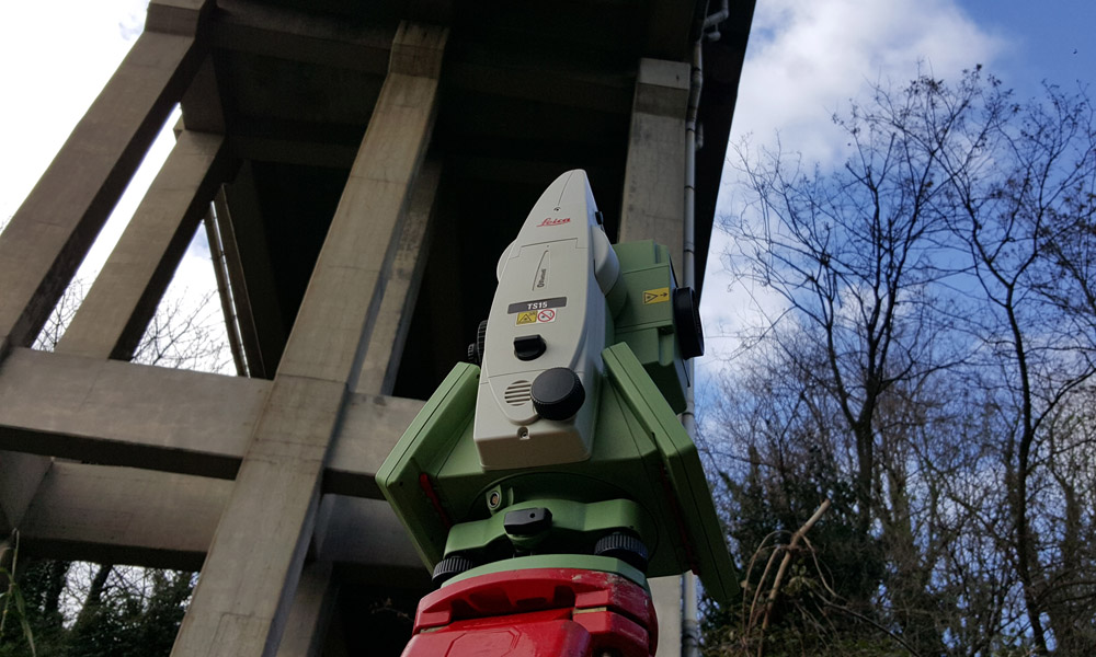
- Trilaterations, benchmark networks and high precision and technical leveling.
- Planimetric and altimetric surveys on a various scale
- Profiles, sections surveys.
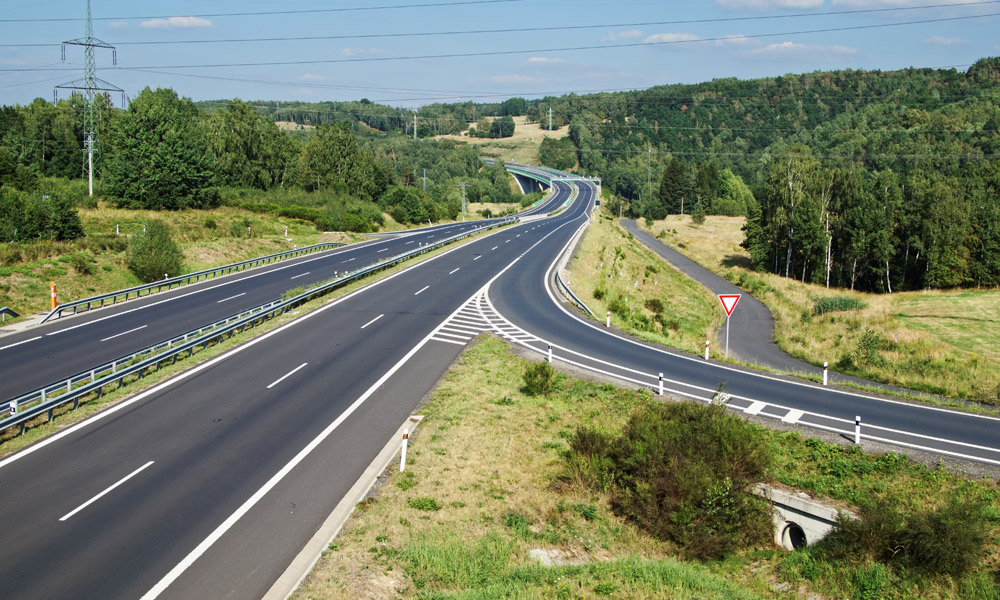
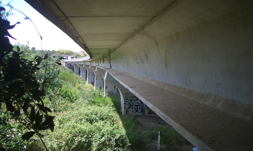
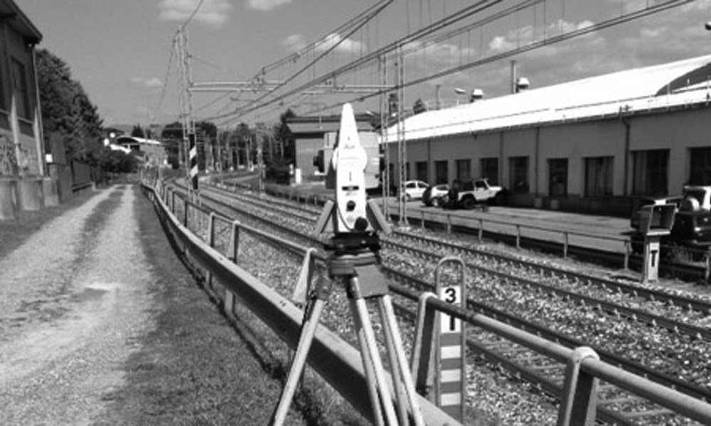
- Infrastructures surveys.
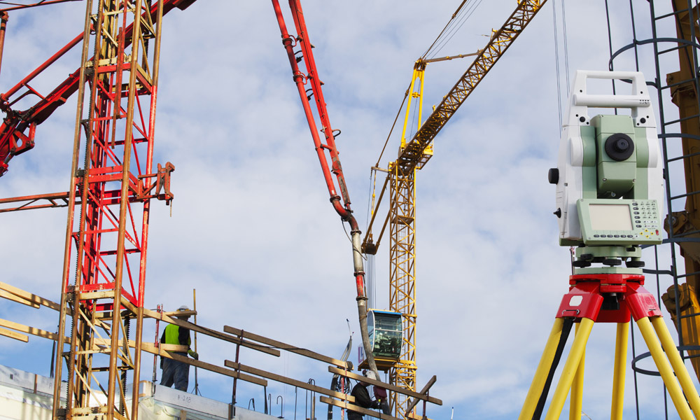
- Small and large scale architectural surveys.
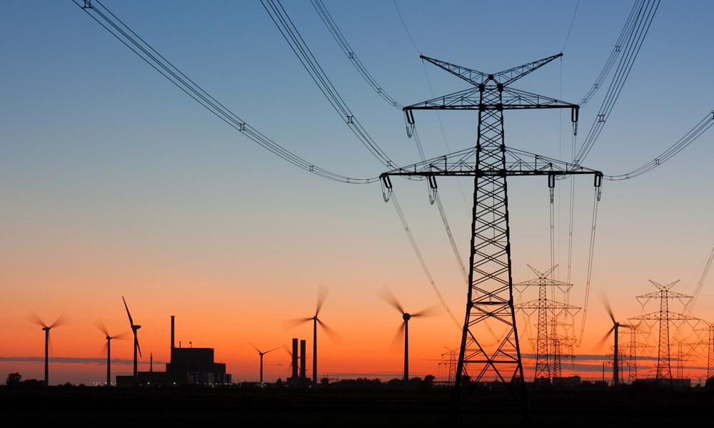
- Tracking of roads, tunnels, power lines, railways, canals, pipelines and ducts.
- On-site topographical assistance.
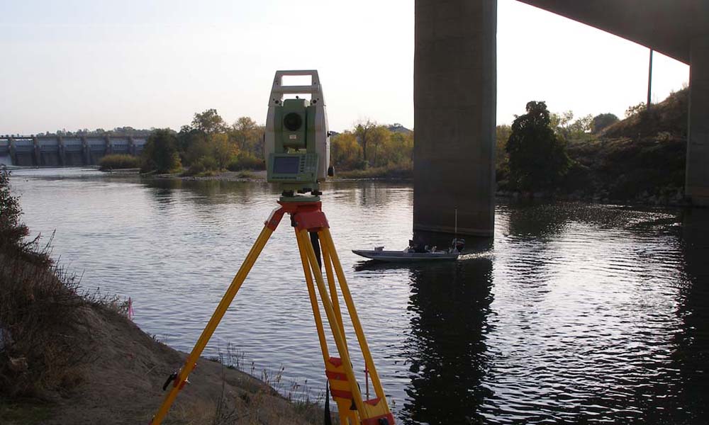
- Static adjustment inspections, monitoring of dams, bridges, overpasses and other structures.
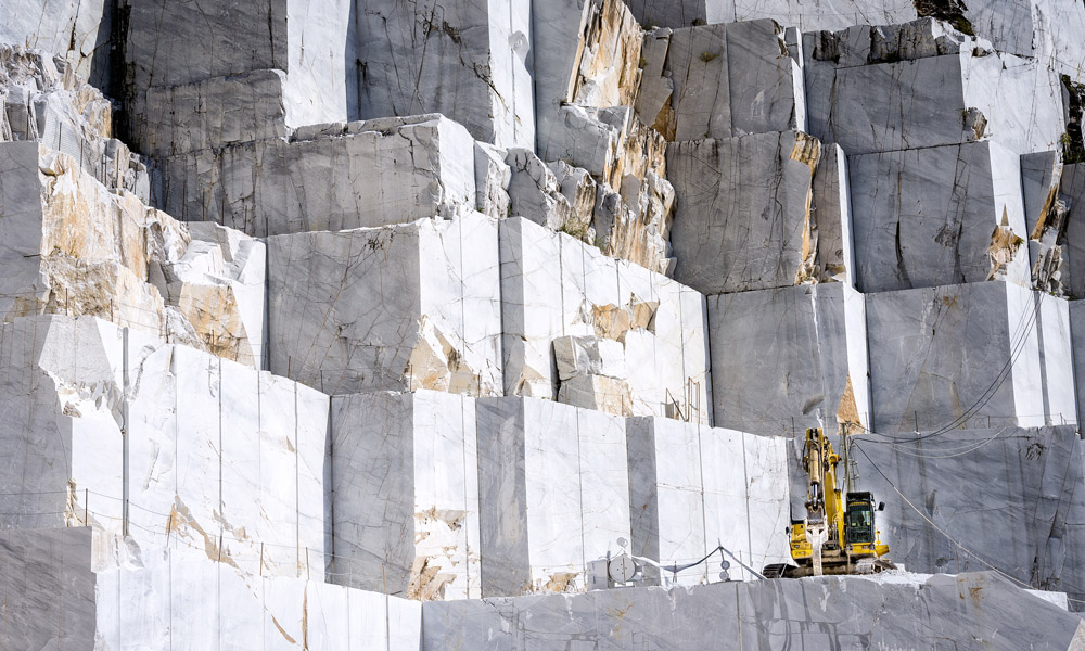
- Monitoring of quarries and landfills.
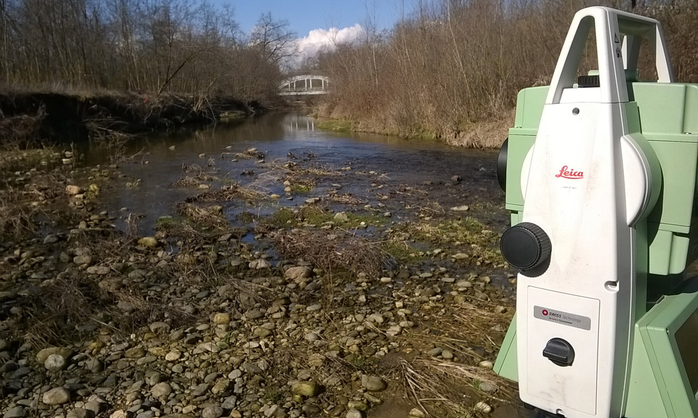
- Bathymetric surveys.
![]()