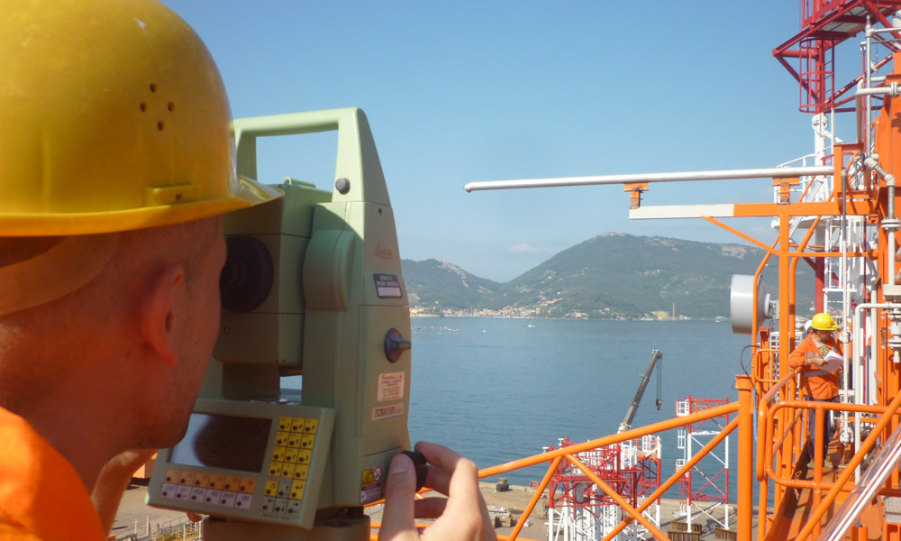
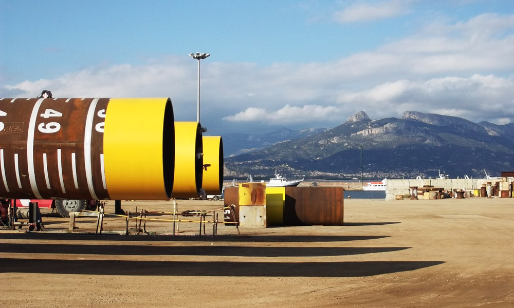
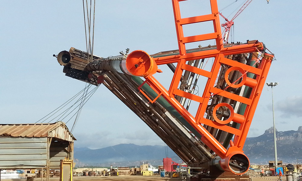
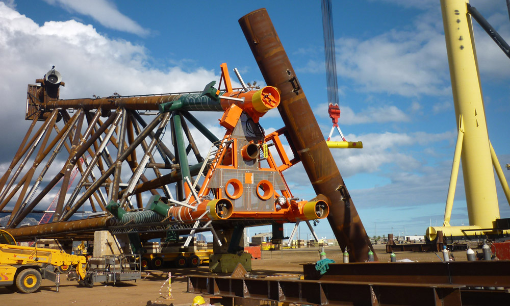
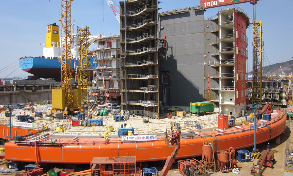
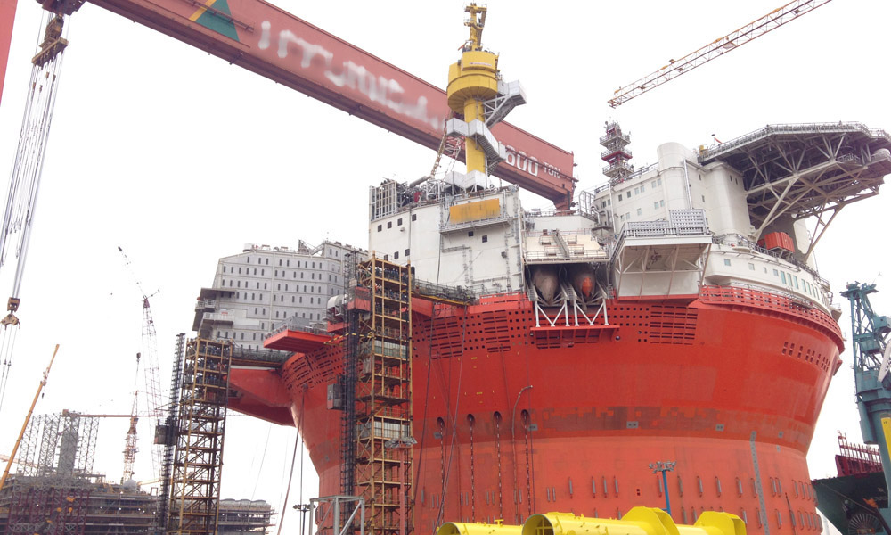

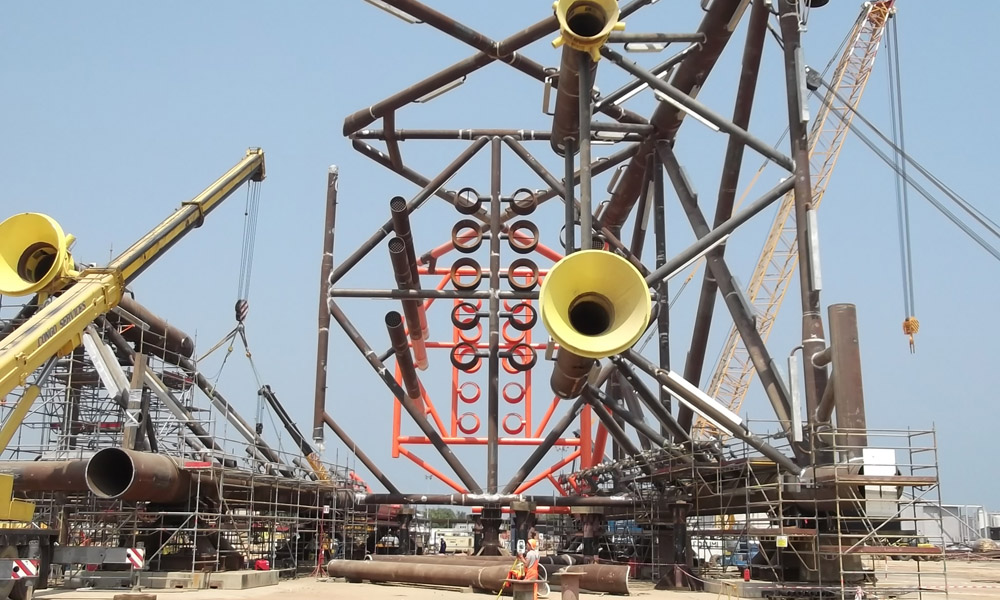
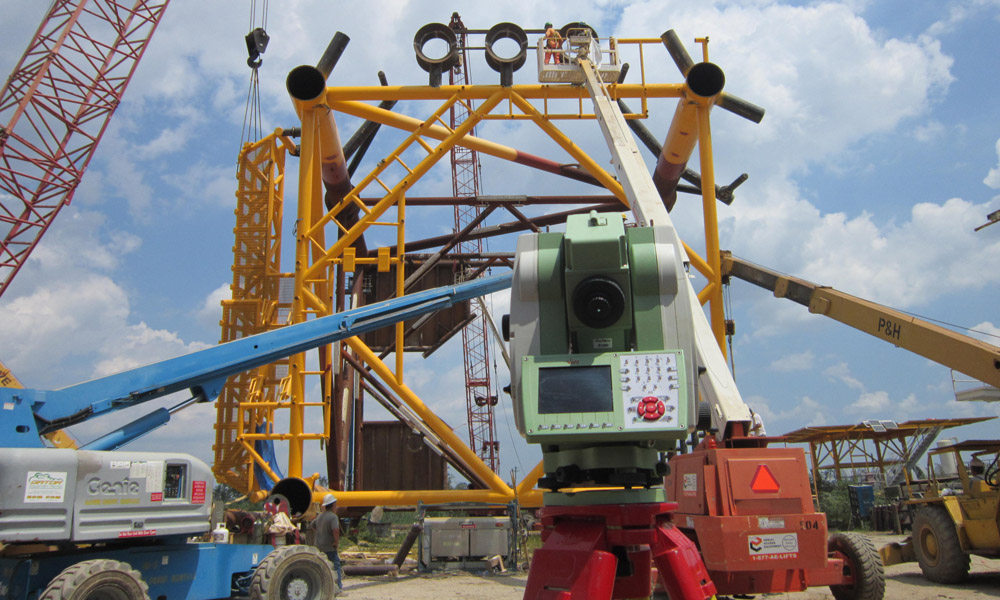
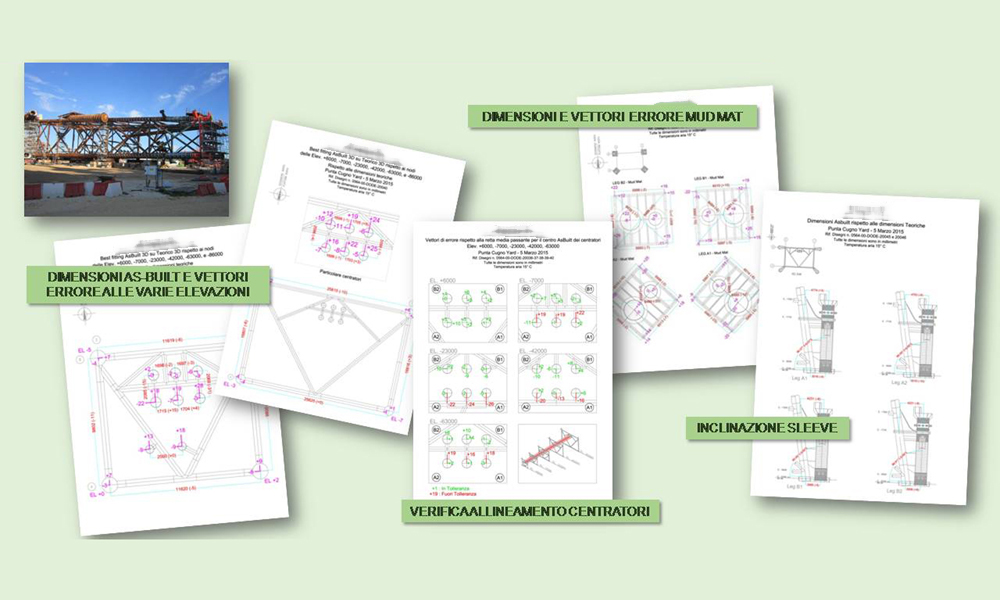
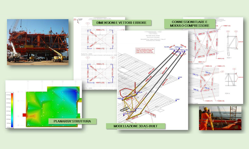
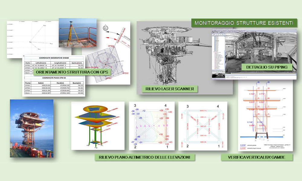
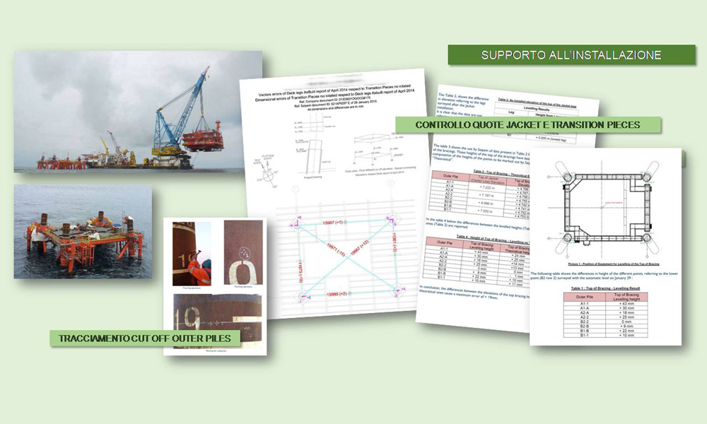
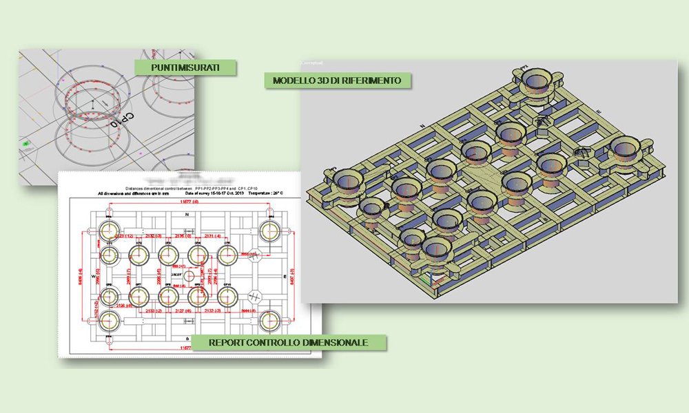
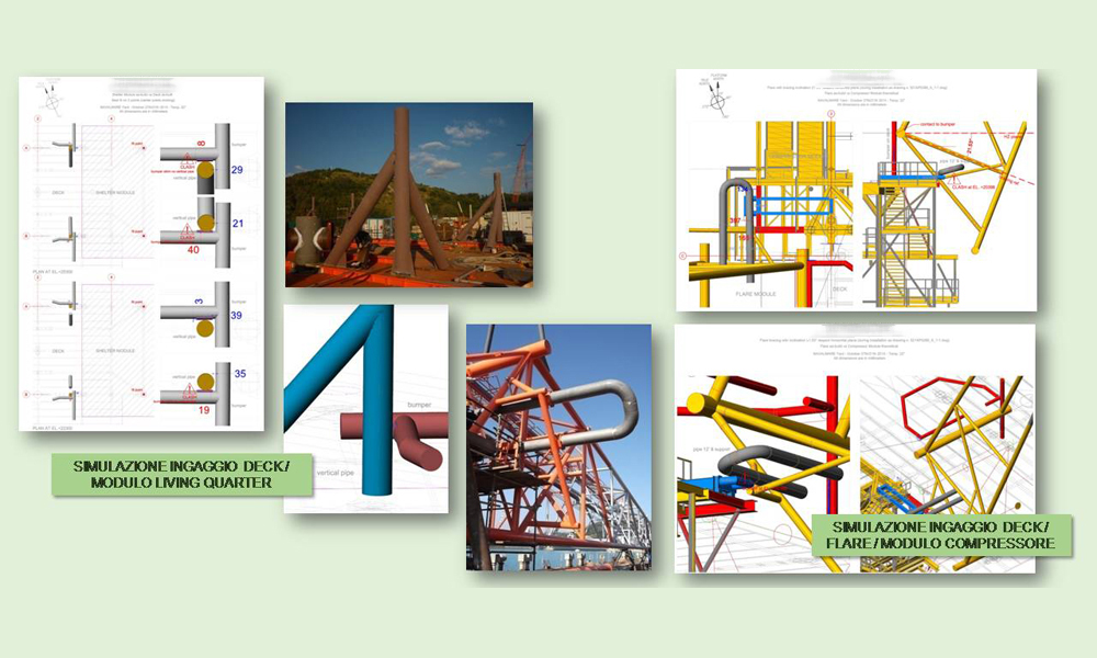
- Carrying out of dimensional checks during construction of oil structures (jacket, deck, barge, FPSO, boats and ships, pipe-rack, modules and sub-blocks).
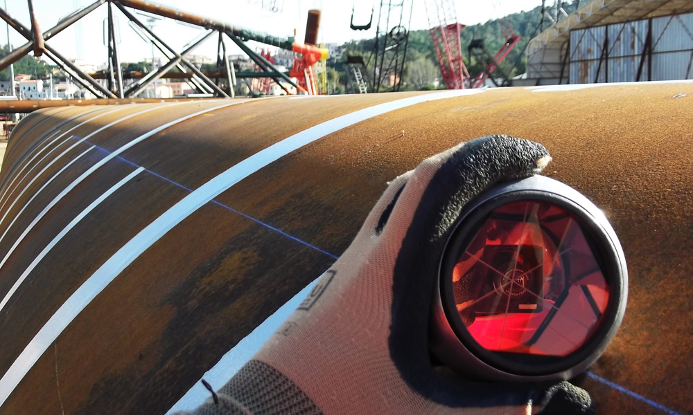
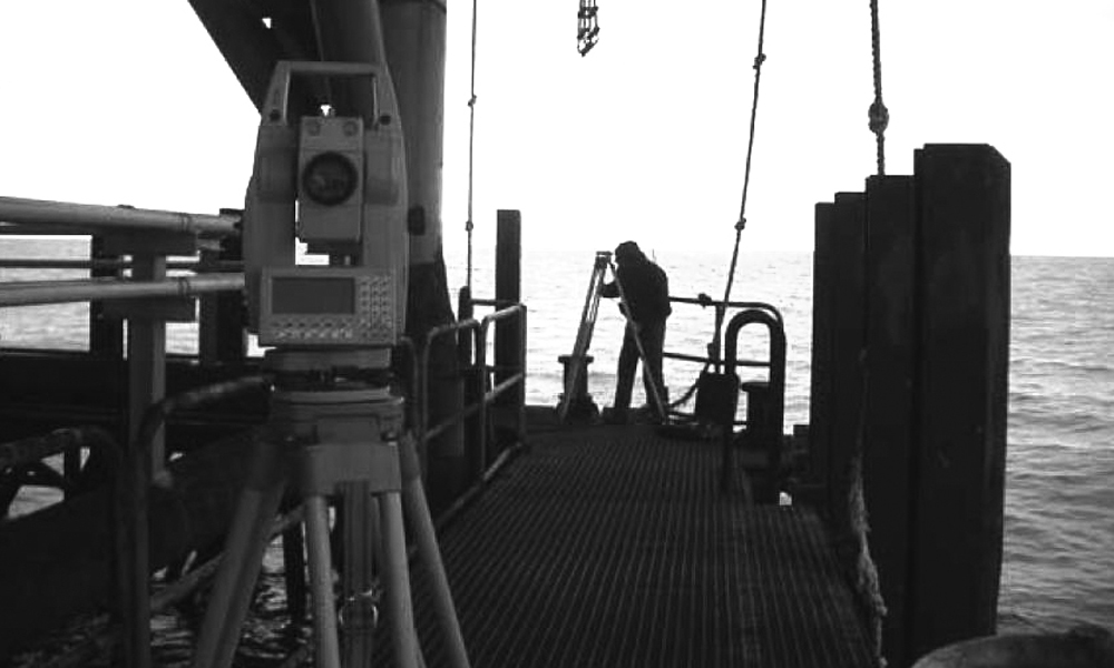
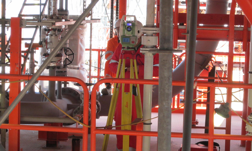
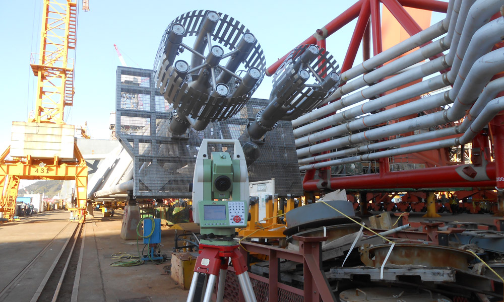
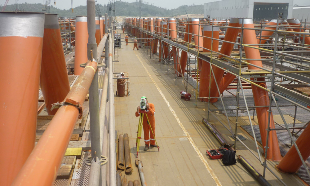
- High-precision measurements with total station and laser scanning of primary and secondary nodes.
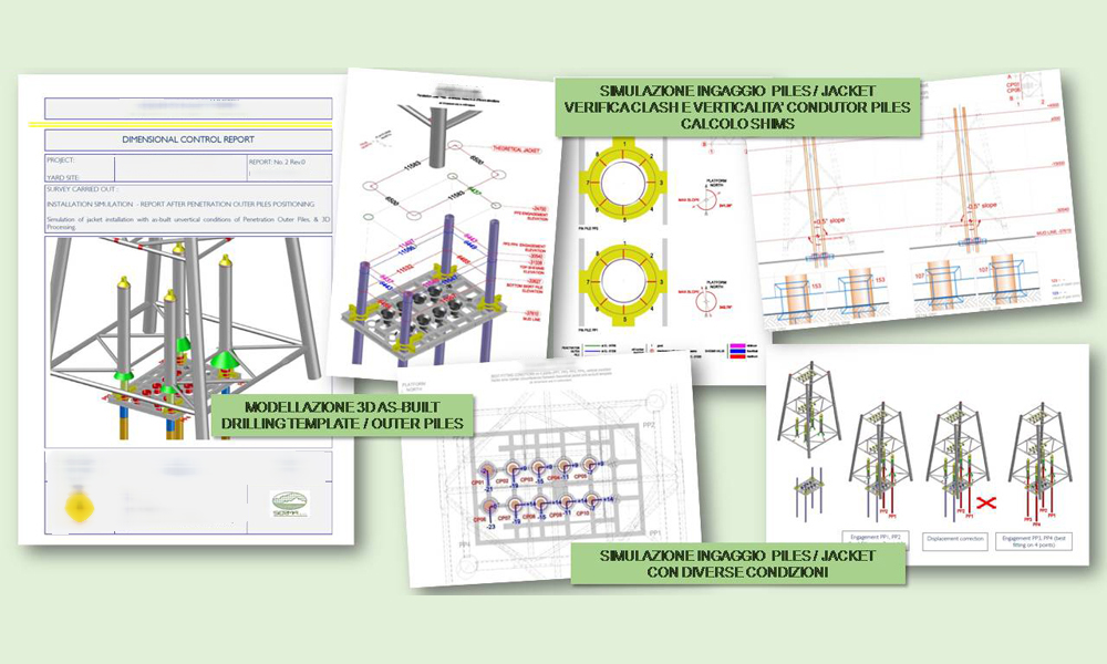
- Verticality, horizontality and flatness testing.
- Inspection of ovalisation of tubular elements, interaxis spacing, position and slope of drilling guides, etc.
- Comparison with theoretical project designs, dimensional reports drawing up.
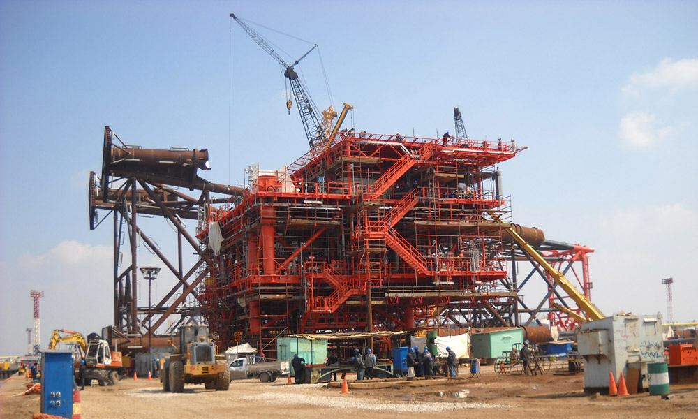
- Inspection and supervision for positioning and installation of offshore structures.
- Tracking of offshore structures and artificial islands.
- Making of geo-topographic database applied to oil infrastructures (pipelines, offshore platforms, production and refining plants).
![]()