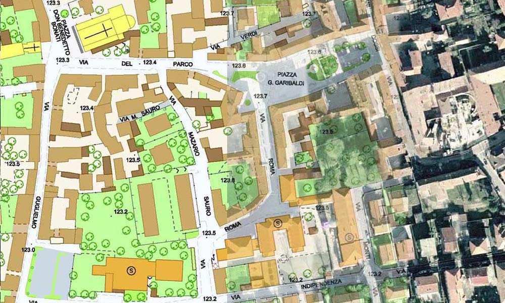
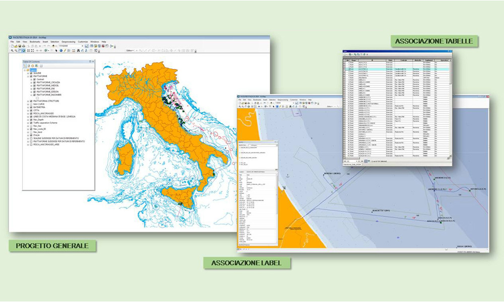

GIS (Geographic Information System) is a computerized system which allows taking-over, recording and analysis of information from geographic data. Therefore it’s a computerized system applied to territory which can create, manage, and analyze spatial and/or geographic data by associating to each graphic element one or more alphanumeric descriptions.
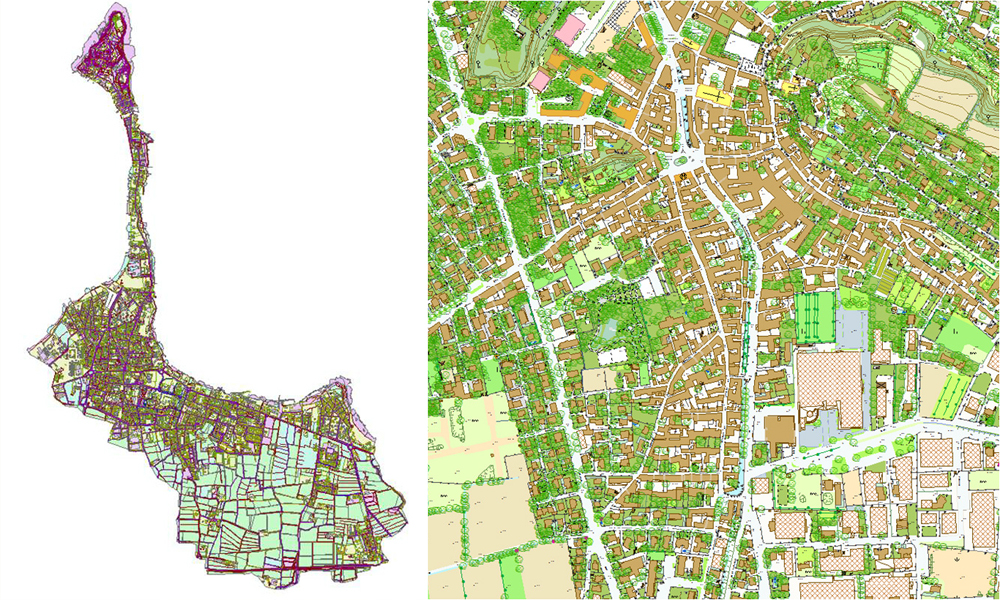
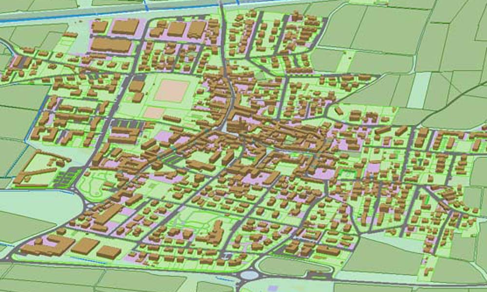
- Multi-level topographic database (DBT).
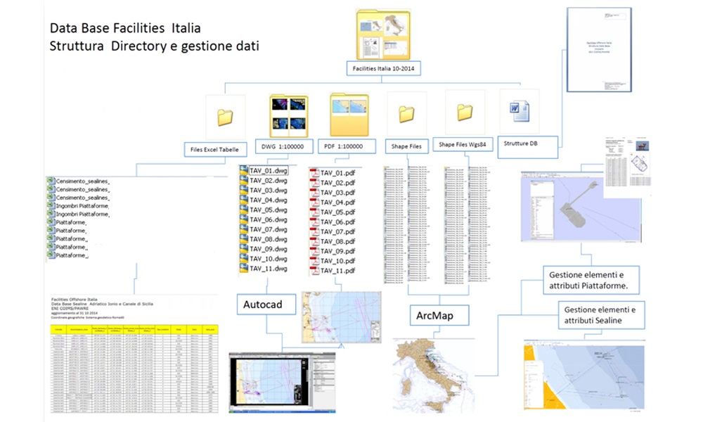
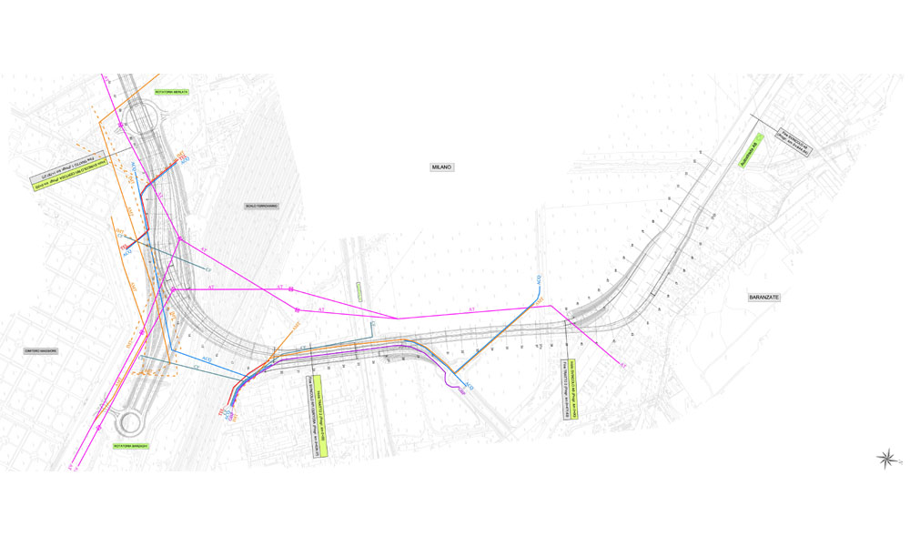
- Infrastructural interference census.