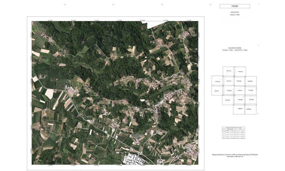
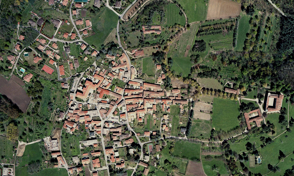
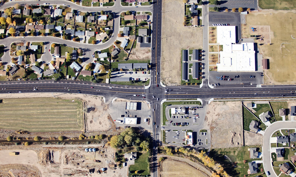
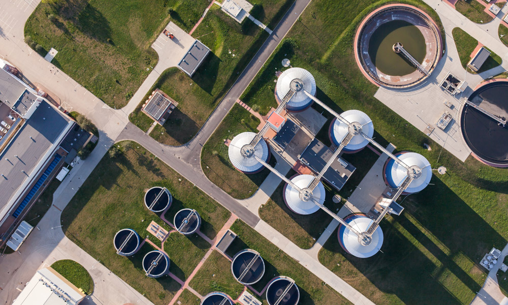
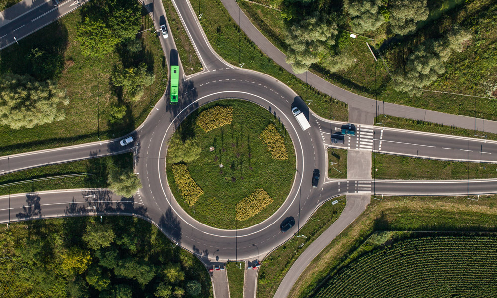
Orthophotos on various scale representation can be generate from digital images captured with aerial shots. Our softwares can manages blocks of frames with no limitation of images to be processed, until rendering any kind of territorial extension.
Mosaic processing and radiometric images correction is automatically performed automatically on overall project.
Orthophotos can be provided in TIFF, JPG, JPG2000, ECW and PDF format, referred to various coordinate systems.
![]()